SimForge Worlds are real places, rebuilt for simulation. Each World pairs an HD map, surveyed to the kerb, with a digital twin: the 3D scene Helios Engine renders by day, in the afternoon and at night.
What's in a World
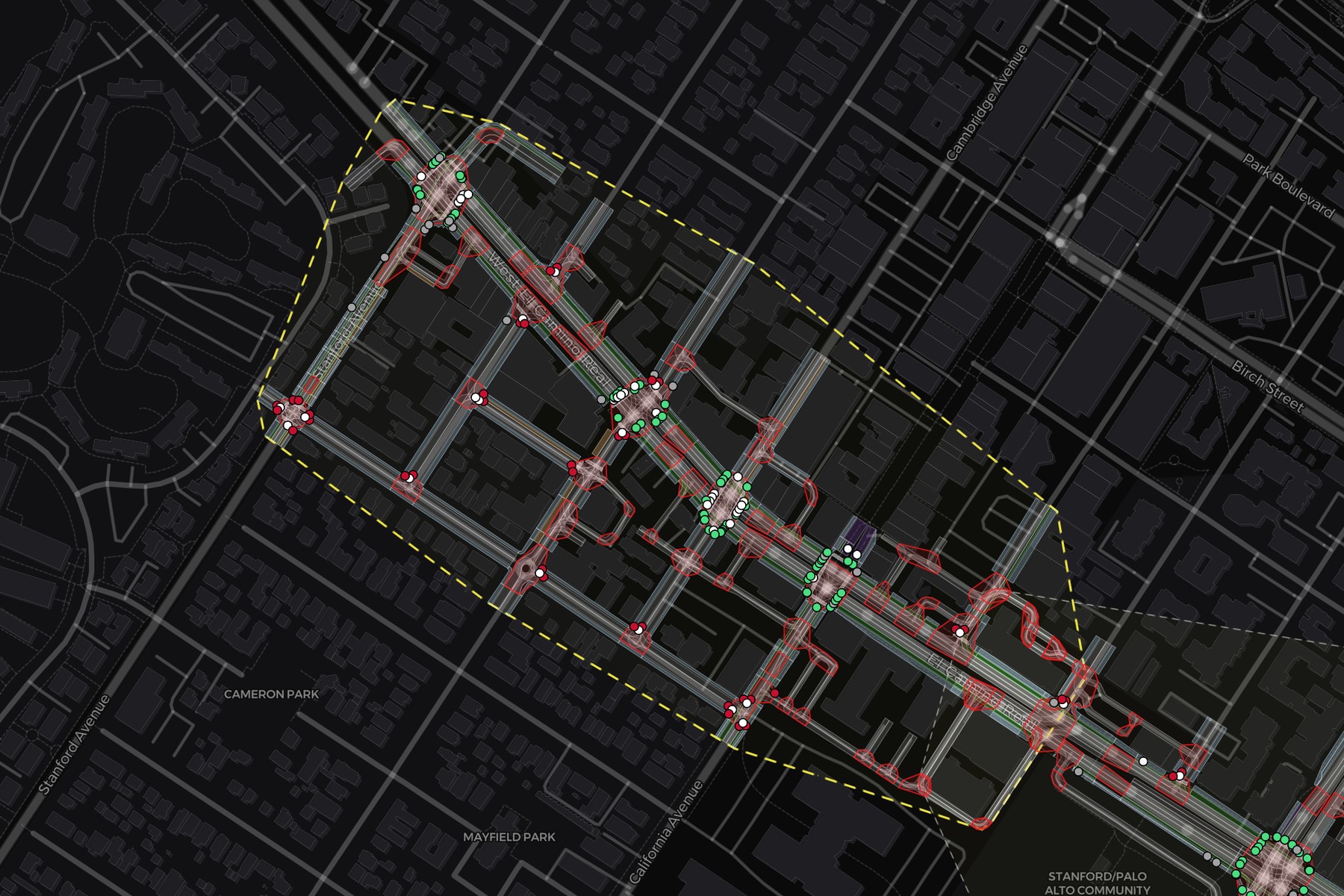
The HD map
- Road network: every lane, junction, signal and crosswalk in OpenDRIVE, georeferenced and versioned.
- Lane graph: which lane continues onto which, with each junction's control and the movements that conflict inside it.
- Typed locations: places to stage a scenario, each anchored by latitude and longitude, scene position and lane. The types are junction, junction movement, midblock segment, parking bay, occlusion zone, work-zone site, parking lane, crosswalk, bus stop and school zone.
- Traffic network: a SUMO network built from the same OpenDRIVE and checked against it before it drives background traffic.
- Street lights: each light's position and heading, so a night render lights the street where the street is lit.
The digital twin
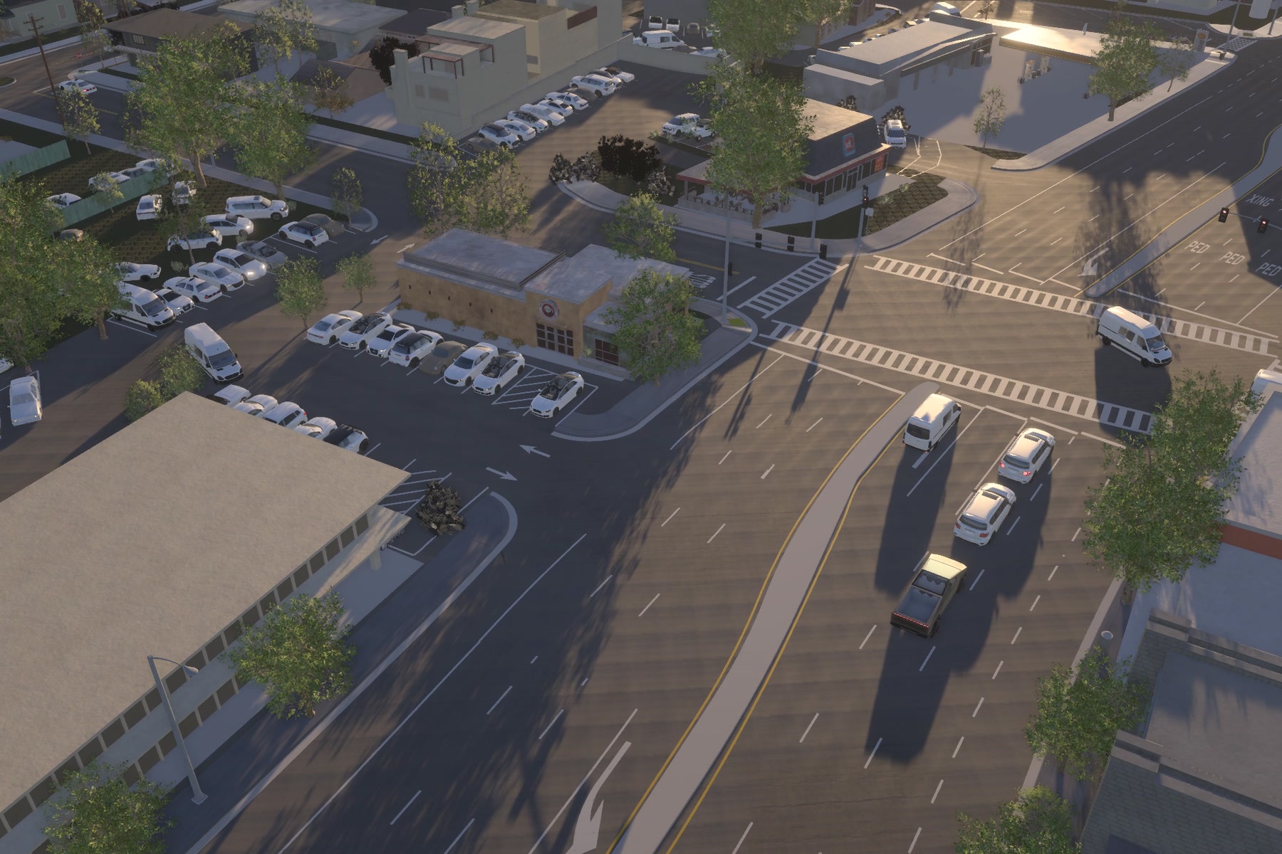
- 3D scene: buildings, kerbs, trees, street furniture and light fixtures placed from the survey, from the same release as the road network.
- Time of day: Helios Engine places the sun where it really is at that hour, from the World's georeference.
- Night: the street lights from the map light the scene, under a sky made from NASA's star and Moon maps.
The public Worlds
- Belmont, California
- Richmond, California
- San Jose, California
- Palo Alto · El Camino, California
- Palo Alto · College Terrace, California
- San Francisco · Dogpatch, California
- San Ramon · Bollinger Canyon, California
Formats
- OpenDRIVE: the road network (
map.xodr) - GeoJSON: the road network, lane polygons and signals
- JSON: the typed locations and the lane graph
- SUMO: the traffic network (
map.net.xml) - glTF and GLB: the 3D scene
Get them
Every public World is free for non-commercial use with a SimForge account. Sign in, then pull one with the CLI:
simforge maps pull belmont-research-center --accept-licenseA World is 5 to 19 GB. The maps guide covers versions and the local cache. Every World is also in SimForge Studio, free to explore.
Copies a command that installs the SimForge CLI and runs this page's example.
Request a custom World
Need a place that isn't here? We build new Worlds on request: the HD map and the digital twin, with the same features and formats.